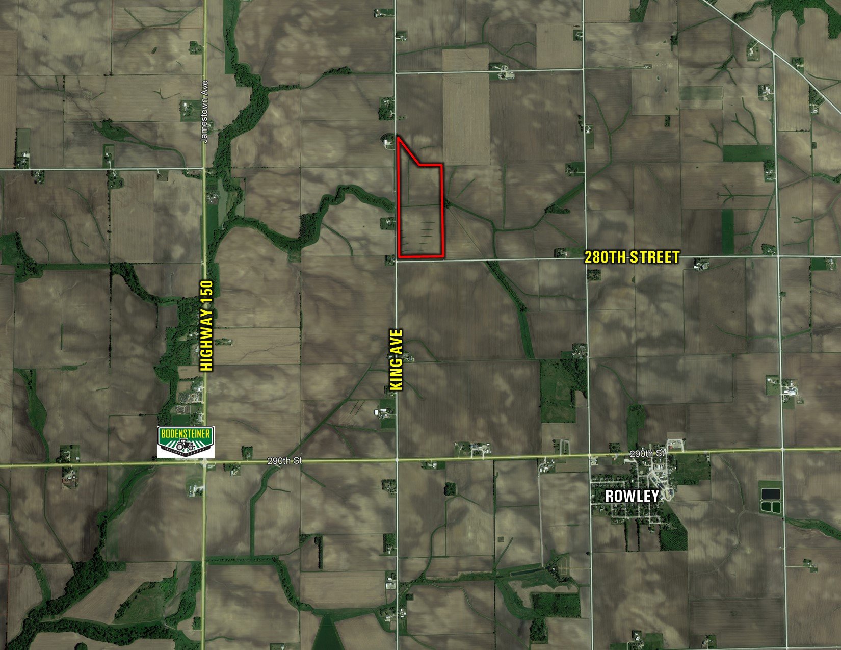
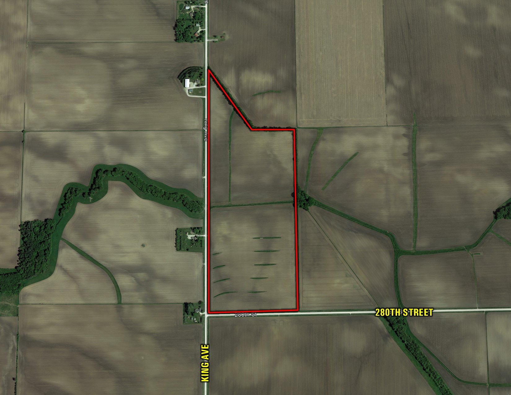
Buchanan County, IA
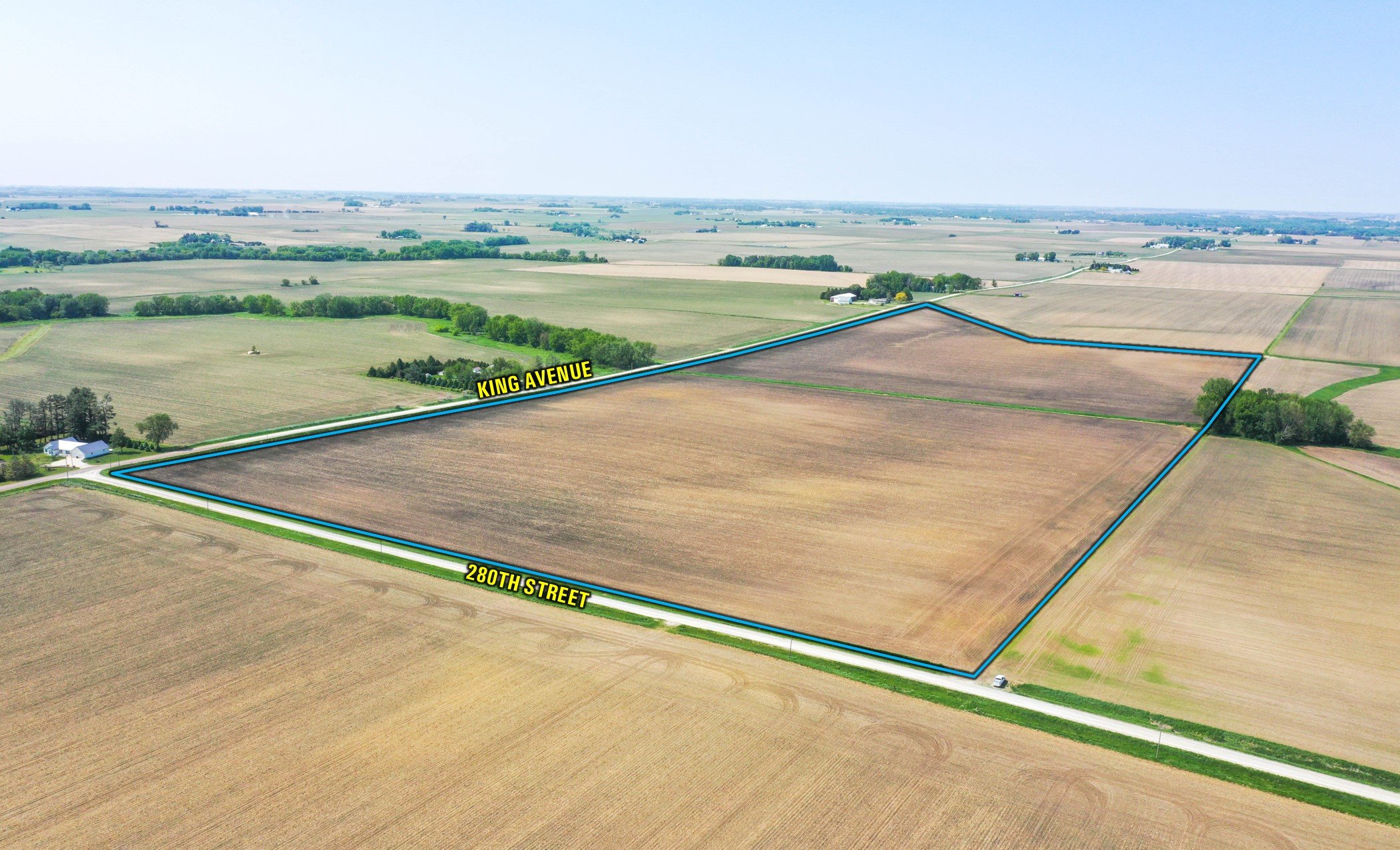
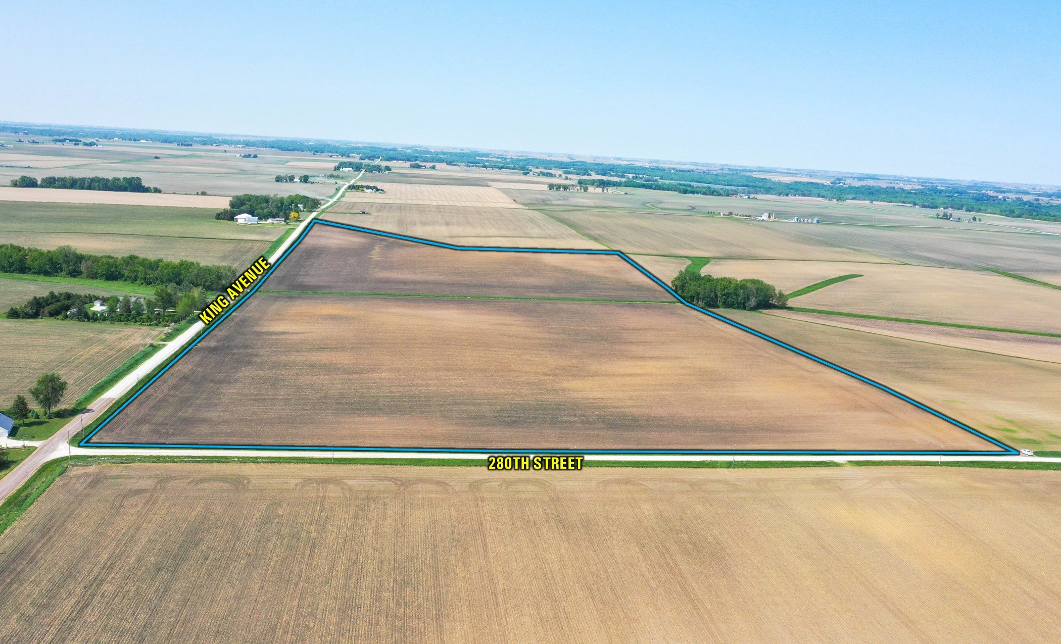
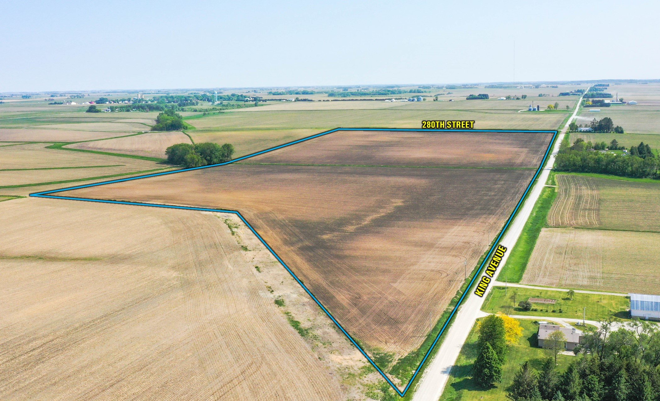
King Avenue & 280th Street
Rowley, IA 52329
86
Acres M/L
$1,281,400
Listing #16895
Contact
Travis Smock
319.361.8089
Travis@PeoplesCompany.com
View Agent's Listings
PROPERTY INFO
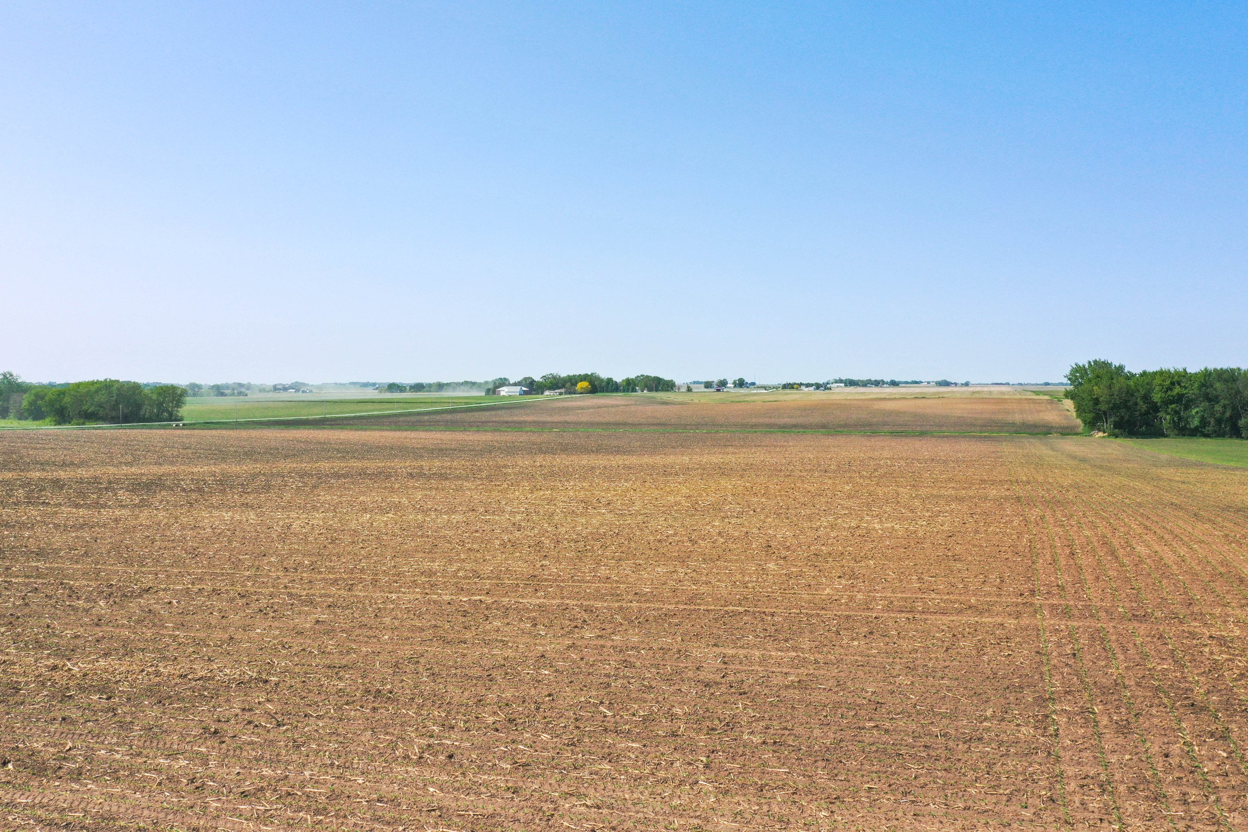
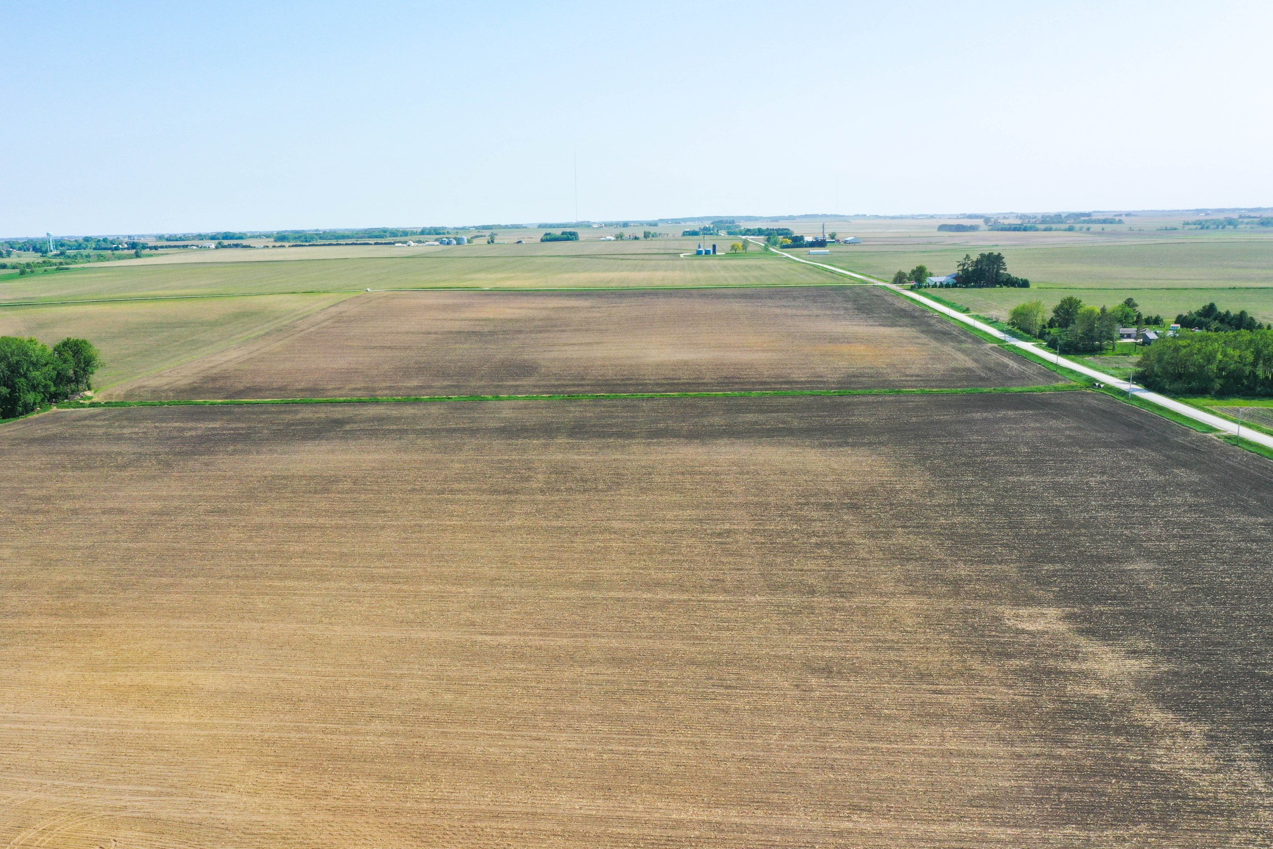
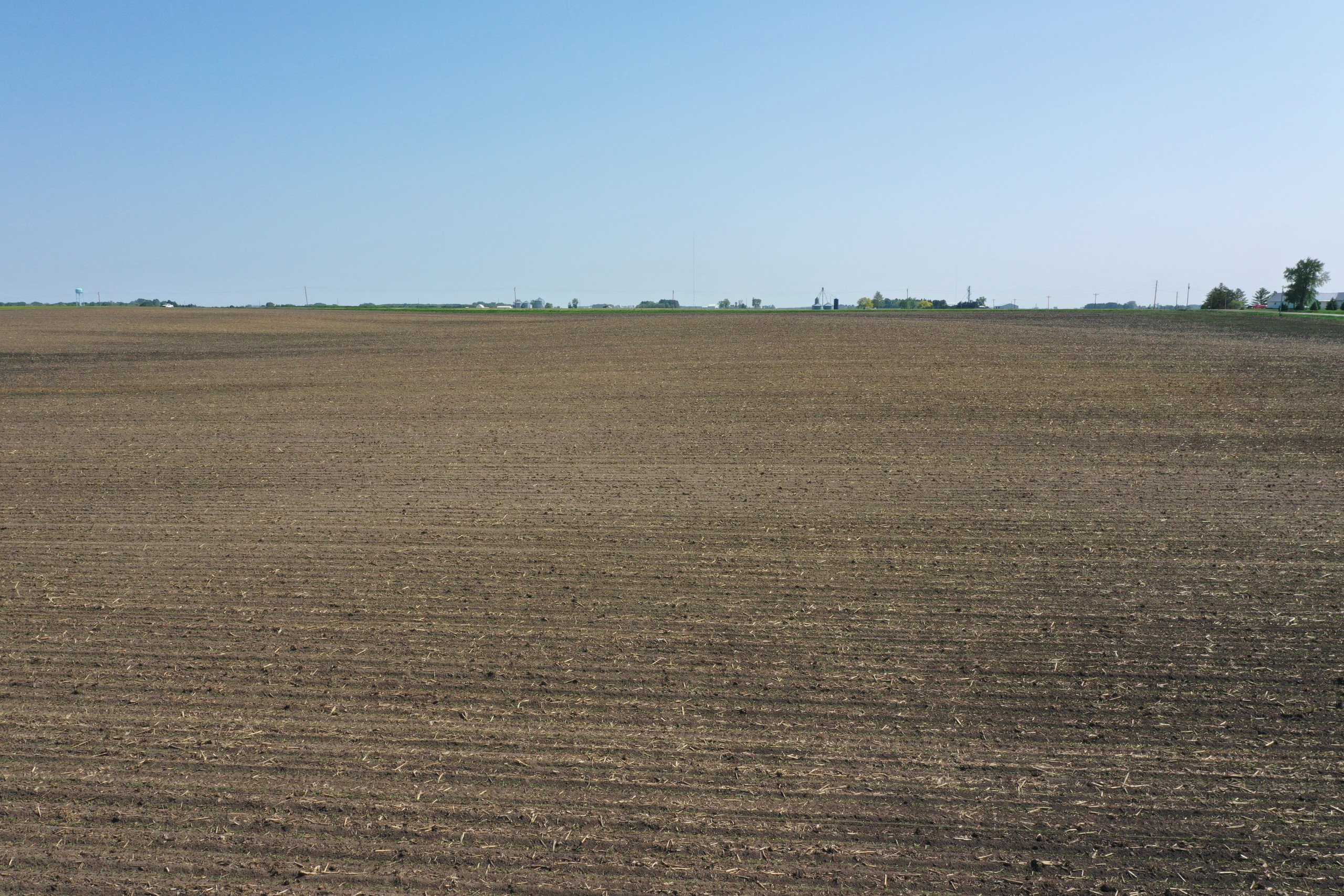
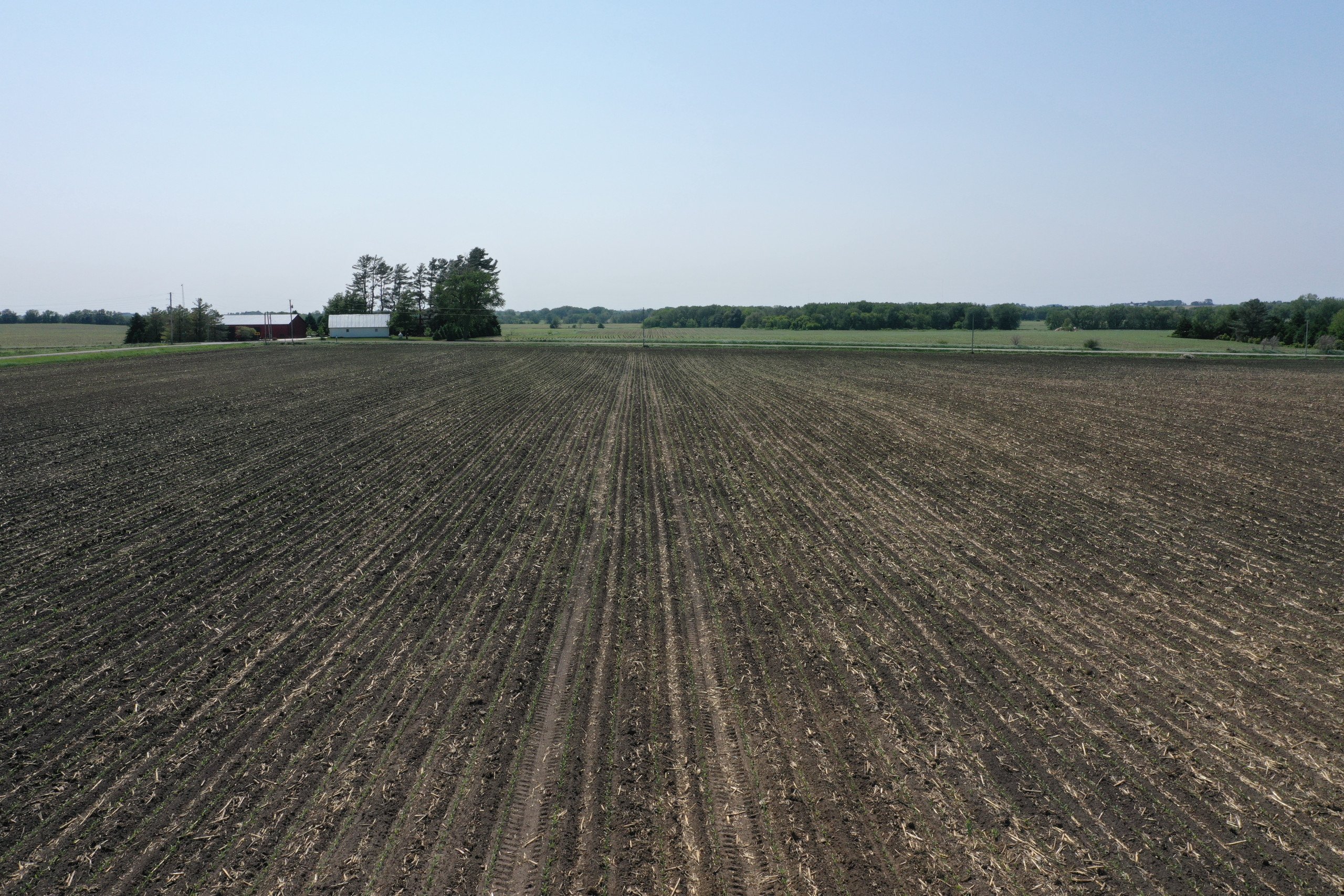
Description
Quality Buchanan County, Iowa farmland available! This 86 acre m/l farm contains 82.85 FSA cropland acres and carries an excellent average CSR2 of 84.8. The farm is mainly comprised of the highly productive Clyde-Floyd complex and Kenyon loam. Extensive cleanup work has recently been done to remove perimeter trees and unnecessary terraces along with lime and fertilizer applications. The farmland is very water efficient with a slight natural roll to a waterway in the middle and does not contain a wetland. There is significant tile on the farm as evidenced by older aerial photos, however, tile maps are not available. There is a strong tenant in place creating excellent return potential for investors. The farm is located just northwest of Rowley in Section 35 of Sumner Township, Buchanan County, Iowa.
Legal Description
The Northwest Quarter of the Southwest Quarter, except Railroad right-of-way; the Southwest Quarter of the Southwest Quarter and all that part of the Southwest Quarter of the Northwest Quarter lying South of the Railroad, all in Section 35, Township 88 North, Range 9 West of the 5th P.M., in Buchanan County, Iowa AND The West 50 feet of a 100 foot wide strip of land as same is presently laid out and located in the Southwest Quarter of the Northwest and 100 foot wide strip of land as same is presently laid out and located in the Northwest Quarter of the Southwest Quarter, all in Section 35, Township 88 North, Range 9 West of the 5th P.M., Buchanan County, Iowa, containing 3.90 acres more or less. Exact legal description to be taken from Abstract.
- Sign On Property: Yes
- MLS Number: 674900
- Parcel Number: 10.35.100.003, 10.35.300.001 & 10.35.300.003
- School District: Independence Community Schools
- General Area: Northwest of Rowley, IA
- Net Taxes: $2,766.00
- Possession: At Closing, Subject to Tenant's Rights
- Terms: Cash, Conventional
Directions
From Rowley, Iowa: Travel west on 290th Street for 1.3 miles to King Avenue. Head north on King Avenue for 1 mile to 290th Street. The farm is located at the northeast corner of the intersection of King Avenue and 290th Street with frontage along both roads.
INTERACTIVE MAP
Use the Interactive Map to explore the property's regional location. Zoom in and out to see the property's surroundings and toggle various mapping layers on and off in the Map Layer Menu.
DRONE VIDEO
Click the “play” button below to watch an aerial drone video of this property.